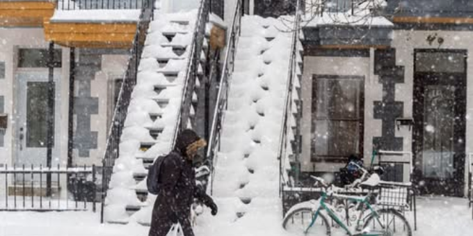
If you thought winter would start taking it easy on us, think again. Environment Canada updated its weekly forecast for Quebec on Tuesday, and Montreal has been hit with a weather advisory.
A powerful snowstorm is set to hit the city starting late Wednesday, bringing between 20 and 35 cm of snow — much more than the 15 cm originally forecast just a day earlier. This storm is shaping up to be the most significant snowfall of the season so far.
This evolving system is making its way up from Texas, intensifying as it heads north and targeting much of southern and central Quebec with heavy snow, moderate winds, and plummeting temperatures. According to Environment Canada, the worst conditions are expected throughout Thursday, with potential travel disruptions, school closures, and reduced visibility due to blowing snow.
Here are a few highlights we can expect for the rest of the week:
Snowfall begins: Late Wednesday night
Heaviest snow: Thursday morning and afternoon
Total accumulation: 20 to 35 cm in Montreal
Winds: Moderate, with blowing snow in open areas
Temperatures: Dropping to -18°C overnight with a wind chill as low as -27°C Thursday morning
Unlike the lighter snowfalls we’ve seen recently, this storm is expected to deliver steady and fast accumulation, especially during Thursday’s rush hour, when road conditions will likely be at their worst. Drivers are advised to check Québec 511 for updates and plan their commutes carefully. Public transit users should also expect delays.
As of Tuesday morning, the city is already seeing light snow showers, with temperatures around -7 C and a wind chill of -14 C. While only a few centimetres are expected today, the snow will ramp up dramatically by late Wednesday, continuing throughout Thursday before tapering off overnight.
February’s snowy start comes as no surprise to weather experts, though.
According to a January 31 report from meteorologist Réjean Ouimet, an arctic air mass over western Quebec colliding with a surge of warmer air has set the stage for some turbulent weather this month. “So far, the misalignment of air masses has kept major storms away, but that’s about to change,” he explained.
“Snowfalls of 15 or even 25 cm or more are likely to become commonplace. Another possibility is that a succession of intense systems will develop, as our winters sometimes do,” Ouimet added.
So, if you were planning a romantic dinner out for Valentine’s Day on Friday, you might want to consider a cozy night in instead. With tall snowbanks and biting cold on the menu, staying warm indoors may be your best bet.
 Only in Canada Only in Canada


